One-off internal editors
Use a reusable map authoring tool instead of building a custom editor for each deployment.
Mapping product
Floor Plan Editor is a browser-based indoor mapping tool for teams that need to create, adjust, and maintain structured venue data. It covers the editing workflow from map setup and floor geometry to overlays, validation, and export.
The current editor already covers the core interaction loop for building indoor map data on top of a live map canvas.
Indoor map authoring is still too often handled with ad hoc tools, bitmap exports, and brittle import steps. That leaves teams with maps that are hard to edit, validate, and reuse in real products.
Use a reusable map authoring tool instead of building a custom editor for each deployment.
Keep editable vector geometry and venue structure instead of treating indoor maps as static floor plan images.
Work with data that stays usable across factories, terminals, hospitals, and campuses with many floors and large footprints.
The current implementation already covers the editing features teams need to turn a venue into usable indoor map data.
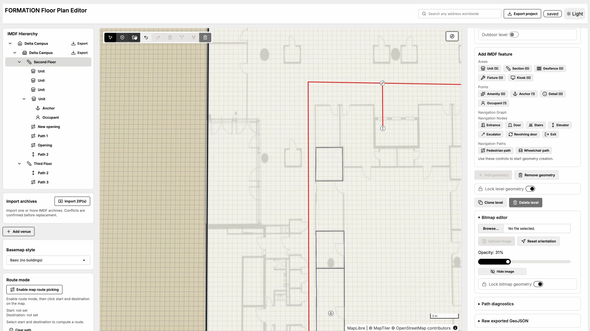
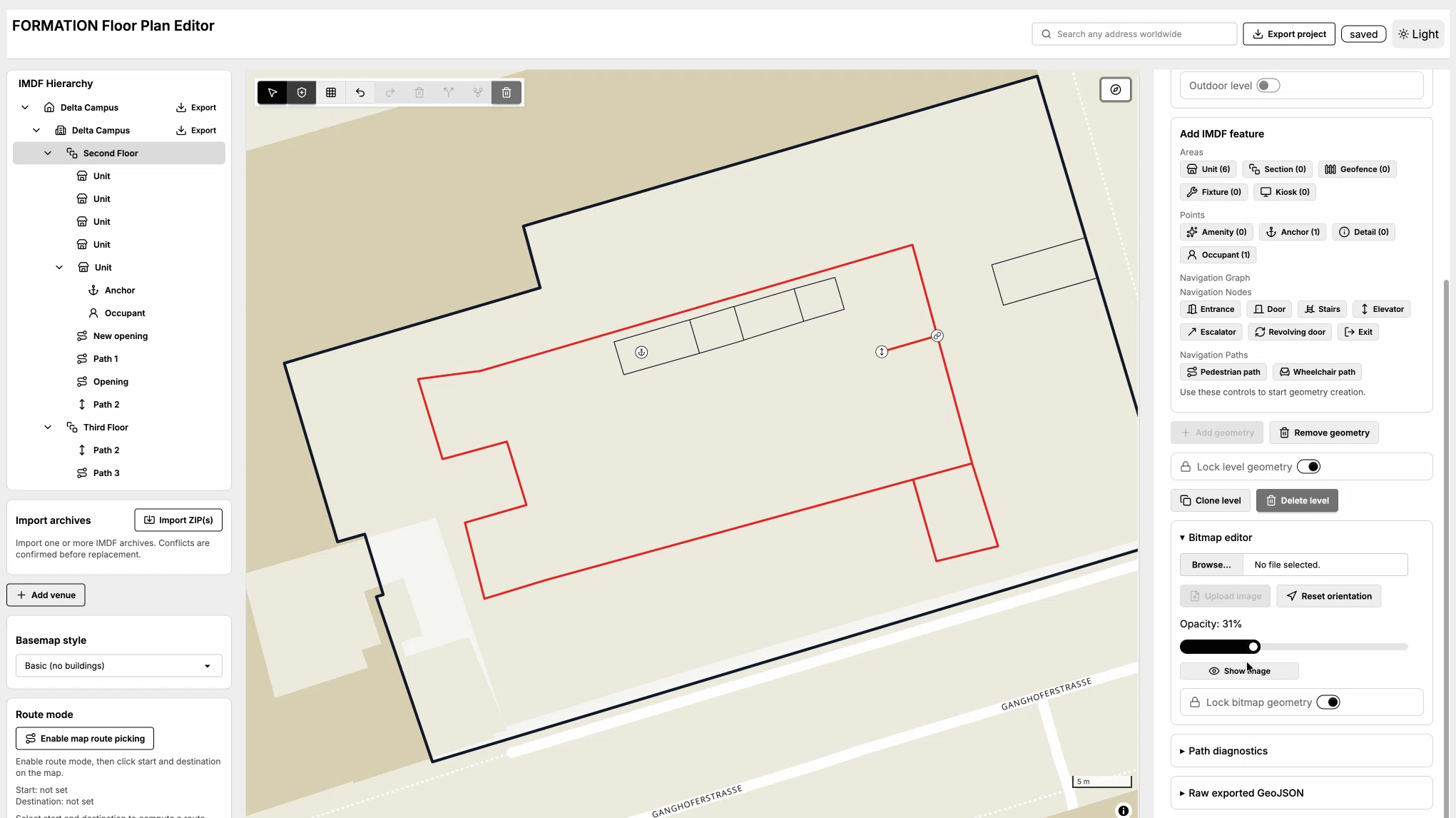
Edit map features on a live MapLibre canvas.
Manage buildings and levels with selection-aware editing panels.
Draw and edit points, lines, and polygons.
Maintain routable navigation paths for wayfinding-ready indoor maps.
Align bitmap floor plan images with corner-based controls.
Use local-first storage plus import and export workflows for GeoJSON and IMDF-oriented datasets.
The editor helps teams build venue data that downstream systems can search, render, route through, validate, and connect to live operational data.
The current implementation uses React, Vite, TypeScript, IndexedDB, and MapLibre so projects stay editable in the browser without heavy infrastructure.
IMDF brings venue hierarchy and semantics for sites, buildings, levels, units, openings, and amenities, not just coordinates and shapes.
Path creation is part of the workflow, so teams can build the graph needed for wayfinding and point-to-point routing.
Structured venue data gives downstream renderers, validators, hubs, and applications a better base than static floor plan exports.
Review the repository, try the current workflows, and use it as the mapping foundation for products that need structured indoor map data.